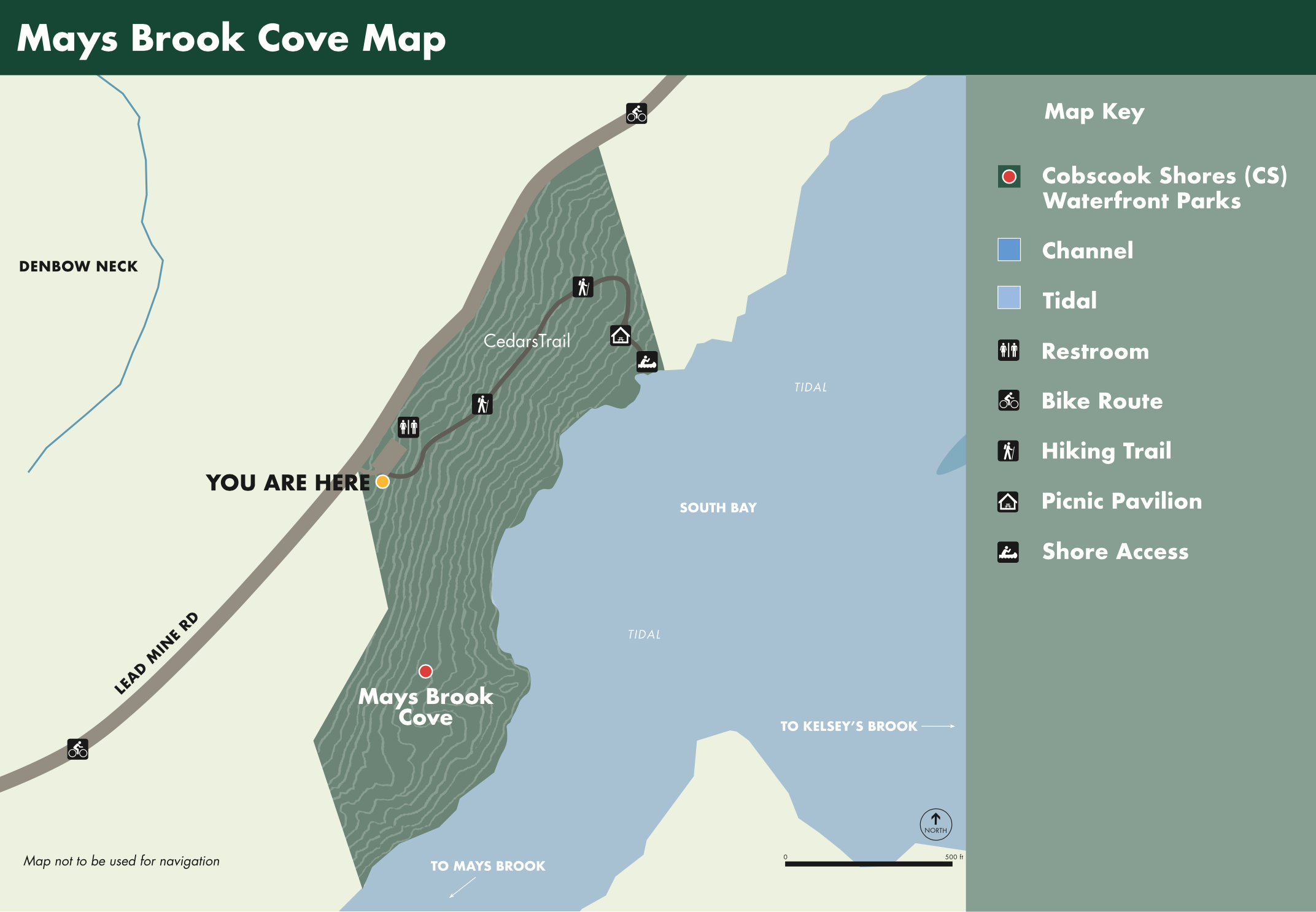
Shorefront Access: 1,700 ft of Shorefront, Shore Access
Hiking Trails: The “Cedars Trail” descends through old growth cedar to the grassy shores of South Bay, this is the southern end of the Bay near the mouth of Mays Brook, a small tributary (1900 ft).
Bike Routes: Continue out Lead Mine Rd to South Bay Narrows: Shoreline Trail and Paddle (0.75 miles), bike the parklands of Denbow Neck, Morong Cove: Picnic and Paddle (3.25 miles), Island Coves: Picnic and Paddle –visits welcome by appointment- (4 miles), Huckins Beach and Trail: Paddle and Camping (5.2 miles) or the parklands of Crow’s Neck, Whiting Bay: Picnic and Paddle (3.6 miles), Race Point: Meadow and Reversing Falls Trail (6 miles) or Red Point Shorefront Park (3.5 miles).
Picnicking: Picnic in the Mays Brook Picnic Pavilion, located at the end of the Cedars Trail. This Picnic Pavilion offers views across South Bay to the mouth of Kelsey’s Brook.